

Only 7.5%
survived.
One state finally checked its own plantations. That was the number. Get Zero watches your trees from space, so you know your number early enough to fix it.
India counts trees on planting day. After that, nobody looks.
Saplings planted in a single season, in one campaign alone.
Still alive when somebody finally went and looked.
Spent every year putting trees in the ground.
You tell us where you planted.
We tell you what is alive.
Satellites cover every site you have. Drones go in close where it matters. Nobody has to drive four hours to find out a patch died in June.
We planted ten thousand trees in one season. When we went back and counted, about one in ten was still alive. Nobody had lied to us. Nobody was watching either. So we built the thing that watches.
Gagan Sharma, Co-Founder
Your land, on one screen, all year
On the left, a satellite photo of a plantation. On the right, what our software reads from it. Drag the handle.
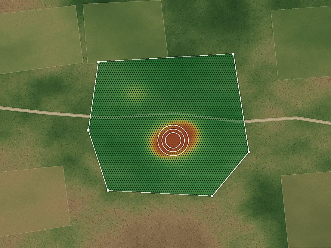
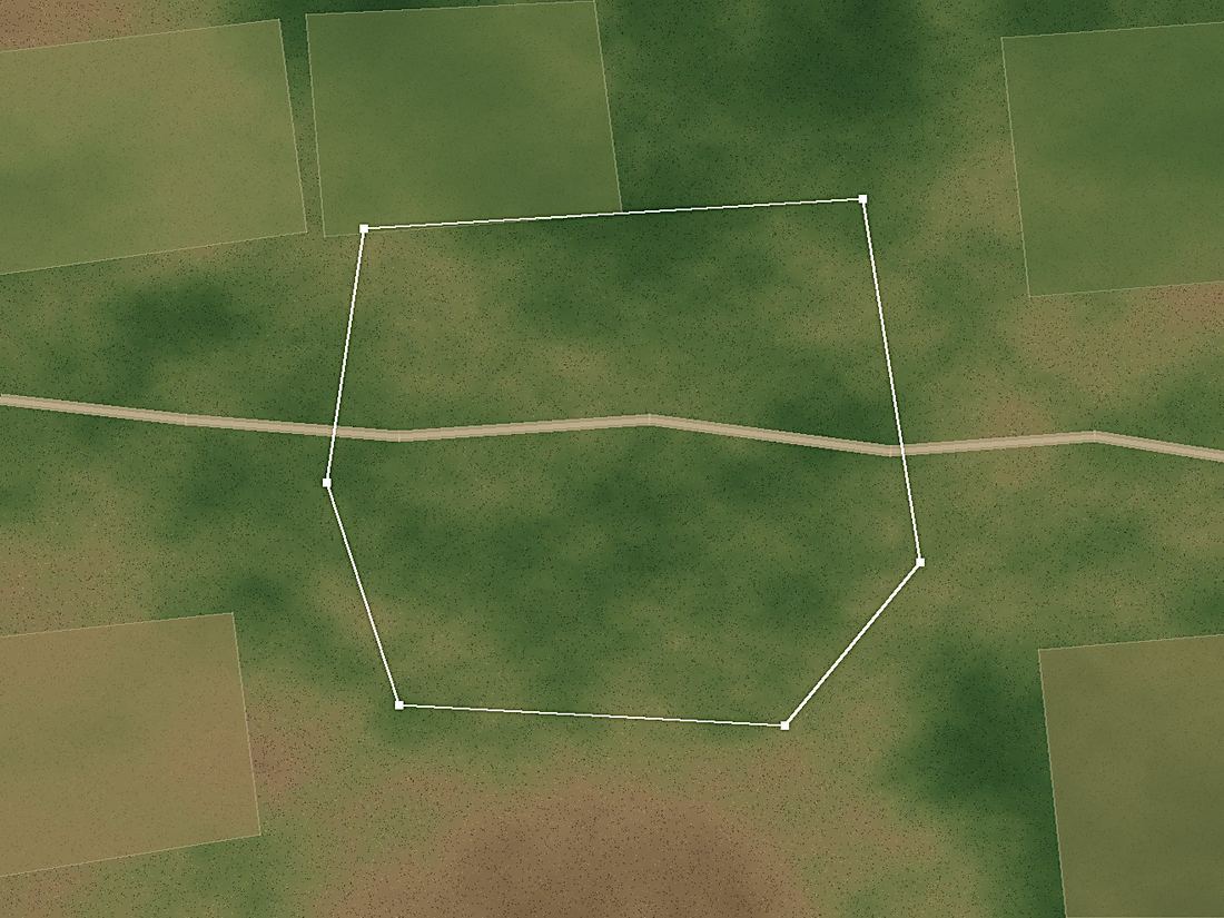
Green is doing well, red is dying. Each shade covers about 10 metres of ground.
Survival since planting
What needs attention
One day, someone will ask what happened to the trees
Your own plans already ask for third party monitoring
Verification today means sending people to sites across districts. Too slow and too expensive to catch a failure while it can still be fixed.
Every site watched on the same schedule, whether it is next door or six hours away.
Book a demoA headcount of saplings is not a result
You funded the drive. A year later somebody asks what happened, and there is no answer. Disclosure rules are tightening at the same time.
A survival number with dates behind it, ready for your board and your auditor.
Book a demoFunders are starting to ask what survived
Going back to check costs money the grant never included. Checking honestly risks a number nobody wants to publish.
Evidence for renewal conversations, and alerts early enough to lose fewer trees.
Book a demoWhat it costs
One fee per year, based on how much land we watch. Nothing per report, nothing extra at renewal.
Plan 01
- Satellite monitoring, up to 10 acres
- As many separate locations as you like
- Dashboard, alerts and survival reports
- Impact certificates for your partners
Plan 02
- Everything in Plan 01
- Drone surveys at up to 7 locations
- Two drone flights per location, every month
- Tree level detail where you need it
Extra land
- Added to your running contract
- No new agreement to sign
- Charged only for the acres you add
How much land do you plant?
Move the slider to see your yearly fee.
Common questions
How can you see a tree from space?
A healthy plant reflects light differently from a dying one. Satellites photograph that light every few days. We turn it into a health score for every 10 metres of your land.
Do I have to install anything?
Nothing. No sensors, no tags, no equipment. Send us the boundary of your land and that is the last thing we need from you.
What happens during the monsoon?
Cloud blocks the normal camera view, so we also read radar, which passes straight through it. Your record keeps running.
Can you count every single tree?
Not from orbit. One satellite square covers about 10 metres, so it sees a cluster rather than one sapling. That is exactly what the drone is for.
Do you plant trees as well?
No, we measure. We did plant, for years, and losing most of them is how this company started.